Resting Well Takes Skill: A Master's Healing Course!
4 stops · Approx. 2 hours
Immerse yourself in nature across Goseong-gun and Inje-gun while admiring the beautiful scenery of the East Sea and lakes. Take a stroll to indulge in literary sentiment, and enjoy leisure and relaxation in the company of lush forests on this leisurely travel itinerary.
- Duration
- Approx. 2 hours
- Distance
- Approx. 100 km
Along the way
- 1Songjiho Beach
송지호 해수욕장
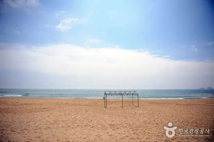
Located about 14 km north of Sokcho, Songjiho Beach sits adjacent to Songjiho Lake, which was designated a National Tourist Site in October 1977. With a white sand beach 2 km long and 100 m wide, clear and shallow waters, and nearby attractions like Jukdo Island and Seoraksan Mountain, it offers plenty to enjoy. Right in front of the beach lies Jukdo Island, known for its scenic bamboo and uniquely shaped rocks, making this a popular and blessed beach destination.MoreLess
- 2
Ayajin Beach
아야진해변
Located 6 km north of Sokcho and about 500 m off National Route 7, this area attracts an increasing number of summer vacationers every year thanks to its picturesque scenery. With its blend of large and small rocks, clear ocean waters, and a clean white sand beach, it is an ideal getaway for families. The sandy beach stretches 600 m in length and 50 m in width, with water depths ranging from 1.5 to 2 m up to 30 m from the shore. More and more visitors are also coming here specifically to buy fresh squid at reasonable prices in the early morning.MoreLess

- 3
Manhae Maeul
만해마을
Established to honor and promote the literary spirit, philosophy of freedom, progressive thought, and national ideals of Han Yong-un (pen name Manhae)—a prominent poet in Korean literary history, Buddhist master, and independence activist who inspired an unquenchable national spirit in the hearts of the Korean people during the dark period of Japanese colonial rule.MoreLess
- 4Bangtaesan National Recreation Forest
국립 방태산자연휴양림
Bangtaesan Mountain is often referred to as Korea's version of Noah's Ark, just as its name suggests. Originally written as 芳臺山, it became 芳台山, and Bangdaecheon Stream still flows through its valley. At the summit of Bangtaesan Mountain, there used to be a rock weighing about 2 tons featuring a hole chiseled by hand. According to legend, during an ancient great flood, a rope was tied here to prevent a boat from drifting away, leading to the name 'Baedaleun Dol' (Moored Boat Rock, 1,415.5 m above sea level). As if proving that era, seashells were reportedly unearthed from the soil or sand in the rock crevices at the peak, though the rock itself can no longer be found today. The vegetation of Bangtaesan Mountain consists mostly of natural broad-leaved forests, alongside some afforested areas. The valleys originating from the main peaks, Guryongdeokbong (1,388 m above sea level) and Jueokbong (1,443 m above sea level), form the primary watershed of the recreation forest, providing abundant water flow. In particular, Madangbawi Rock (a flat and wide rock like a courtyard) and the two-tiered waterfall offer breathtaking scenery. With diverse tree species such as linden, birch, pine, and oak, it boasts stunning natural beauty throughout the seasons—from lush greenery to autumn leaves and snowy landscapes. It is also home to a wide variety of wildlife, including fish such as Manchurian trout, catfish, and Korean coreoperca, as well as wild boars, rabbits, pheasants, roe deer, and squirrels. * Total Area - 9,387 haMoreLess
Source: Korea Tourism Organization (TourAPI) · Machine-translated