Seohaerang Trail (Jindo and Mokpo Section)
6 stops · More than 3 nights
The Seohaerang Trail spans a total of 1,800 km, starting from Ttangkkeut Village in Haenam and reaching Ganghwa in Incheon. Walking through the garden of Ssanggyesa Temple—a haven for birds, trees, and the wind—and along paths covered in autumn leaves, you will encounter nature in its purest form. Following the path connected to the Seohaerang Trail, you can discover Gohado Island filled with the sounds of the sea, the Sebang Sunset where the sun dips between islands at dusk, and Mokpo's Street of Modern Culture, which now tells tales of the past.
- Duration
- More than 3 nights
- Distance
- 72.4km
Along the way
- 1
Ssanggyesa Temple (Jindo)
쌍계사(진도)
Said to have been founded by Master Doseon during the Silla period, this temple was named Ssanggyesa because streams flow on both sides of the grounds. Ascending for about 10 minutes along the valley behind the temple reveals a dense 12,231 m² evergreen forest designated as a natural monument, comprising about 50 tree species. The construction date of the Daeungjeon Hall of Ssanggyesa Temple was accurately identified as 1697, based on records found during its dismantling and repair in 1982 in the ridge beam inscription indicating the 36th year of Kangxi, or the 23rd year of King Sukjong's reign. Round pillars were erected on foundation stones placed atop a natural stone base approximately 1 meter high. The building features a multi-bracket (Dapo) style with a gabled roof, measuring three bays in front and two bays on the sides. The central door is a four-panel folding door, while the side doors are three-panel doors; the side doors feature grid patterns (daesalmun) and the central door features diagonal lattice patterns (bitsalmun). The bracket sets are constructed with a pyeongbang placed over the changbang, with both internal and external projection counts (chulmoksu) being three steps (samchulmok). A distinctive feature is that the arm shapes show decorative motifs reminiscent of the eye-shaped engravings seen on the base of stone pagodas or stupas. High pillars are erected on both sides to install the internal/external purlins, middle purlins, and ridge purlins, forming a coffered ceiling, while the main beam is exposed to the outside.MoreLess
- 2
Yeogwisan Mountain
여귀산
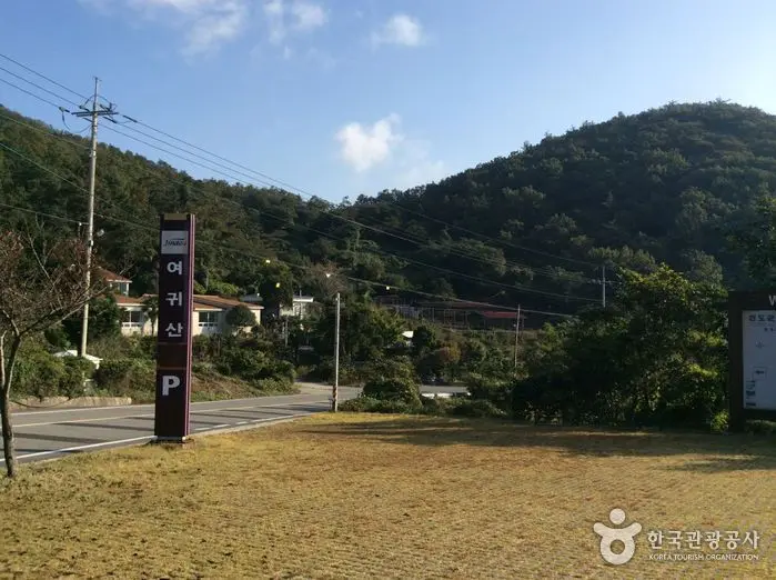
Yeogwisan Mountain (457 m above sea level) uses the Chinese characters for woman (女, yeo) and noble (貴, gwi), easily interpreted as meaning a "noble woman." Perhaps due to its name, when looking up at this mountain from the south or north, the summit and the pointed peak known as Small Yeogwisan Mountain resemble a woman's breast. Yeogwisan is connected by a ridge to Cheomchalsan Mountain, located about 12.5 km away in a straight line to the northeast. The mountain ridge connecting westward from Cheomchalsan toward Yeogwisan passes Suribong Peak (381 m) from Cheomchalsan, dips briefly at Wanggogae Pass, and then turns south to head southward, forming the boundary between Chiljeon-ri and Chimgye-ri in Uisin-myeon. The ridge running south from Wanggogae passes the 221 m peak that marks the boundary between Imhoe-myeon and Uisin-myeon at about 5 km, flows down another 3 km to the 192 m peak, turns southwest, and begins to rise from the 313 m peak to shape Small Yeogwisan and Yeogwisan. From Yeogwisan, the ridge continues southwest past Sangman-ri to reach Yeondaesan Mountain (149 m), turns northwest along the coast past Huiyeosan Mountain (270 m) and Bichasan Mountain (174 m), enters Jisan-myeon, heads north to raise Jiryeoksan Mountain (325 m) and Dongseoksan Mountain (240 m), and finally submerges its remaining energy into the sea. Yeogwisan is a mountain with two faces. While the summit consists of a rocky area that is quite rugged to climb, the branch ridges flowing left and right around the summit form gentle slopes. In addition, Yeogwisan appears easily climbable from any direction when viewed from the outside, but once inside, the forest is so dense that, unlike ordinary inland mountains, it is difficult to push through the wooded areas off the established hiking trails. However, once you reach the main ridge or summit, a magnificent panoramic seascape unfolds, including Dadohaehaesang National Park opening up refreshingly to the southwest. The sunrise and sunset dyeing the sea in vermilion hues from this mountain are truly superb.MoreLess
- 3Sebang Sunset Observatory
세방낙조 전망대
A place to witness the most beautiful sunset in Korea The view of the Dadohae Archipelago overlooking from Sebang Sunset Observatory, known as the most scenic spot along Jindo's coastal roads, is breathtaking. The sunset seen from here is fantastic. At dusk, the spectacular view of the sun sinking between the islands dyes the surrounding blue sky in a red deeper than autumn foliage. The Central Meteorological Agency even selected it as the "Best Sunset Viewing Spot" at the southernmost tip of the Korean Peninsula. This coastal road is Korea's finest archipelago driving route, offering a panoramic view of the beautiful islands of Dadohae. You can enjoy a scenic drive while breathing in the fresh air flowing from the lush forests and pristine sea.MoreLess
- 4Gohado Island Observatory
고하도 전망대
Gohado Island Observatory is an observatory built by stacking 13 Panokseon battleship models in a grid pattern on Gohado Island, where Admiral Yi Sun-sin regrouped his forces after the victory in the Battle of Myeongnyang. It is a popular spot where many visitors come to enjoy the scenic seascape of Gohado Island, serving as an educational and exhibition facility embodying the spirit of Admiral Yi Sun-sin. The 1st floor is a resting area, and the 2nd to 5th floors serve as an observatory and exhibition space introducing tourism in Mokpo.MoreLess
- 5
Yudalsan Dulle-gil Trail
유달산 둘레길
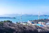
This is a 6-km trail taking about 2 hours and 30 minutes, where a refreshing panoramic view of the archipelago unfolds. Visitors can appreciate works at Mokposisa, founded in 1907 by Master Jeong Man-jo, a prominent late-Joseon scholar, which served as a gathering place for local literary figures, as well as the poignant Cheolgeotap Pagoda of Dalseongsa Temple and Korea's first outdoor sculpture park. From Nakjodae, the sunset that dyes the vicinity of Gohado Island and Mokpo Bridge in red, along with the ships of various sizes sailing back and forth, is truly beautiful. [Source: Mokpo Culture & Tourism]MoreLess
- 6Mokpo Modern History Museum No. 1
목포근대역사관 1관
This oldest building in Mokpo was constructed as a consulate following the opening of Mokpo Port in October 1897 and the establishment of the Japanese Consulate in Mokpo in October 1898. Prior to the consulate's construction, Japan leased and used the Manho-cheong (the Mokpo naval base garrison abolished in 1895) from the Joseon government, transferred operations to a temporary building on the highlands of Yudalsan Mountain, and then established the Japanese Consulate in Mokpo along with auxiliary facilities such as a police station and post office at the current location in Daeui-dong. Originally, the Japanese consul requested a site of 16,028 square meters from the Muan Gamri (superintendent), but the Joseon government approved only 9,483 square meters. Japanese records state that construction began in January 1900 with a cost of over 70,000 won and was completed in December of the same year. It was later used as the Mokpo Residency Office, Mokpo City Hall (during the colonial period), Mokpo City Hall from 1947 after liberation, the Former Japanese Consulate in Mokpo from 1974, and the Mokpo Cultural Center from January 1990. Following the recent relocation of the Mokpo Cultural Center, it was renovated and opened in 2014 as Mokpo Modern History Museum No. 1. [Source: Mokpo Culture & Tourism]MoreLess
Source: Korea Tourism Organization (TourAPI) · Machine-translated