Autumn Foliage Spots in Gapyeong with Exquisite Valley Views
3 stops · 1 day
In autumn, Gapyeong is blanketed with fall foliage everywhere you look. However, the mountainous Buk-myeon—and Jomurakgol Valley in particular—is considered the very best. Named Jomurak (鳥舞樂) because the mountain scenery was so magnificent that birds danced and rejoiced, this is a wonderful place to trek amidst broad streams, green moss, and blazing red maple leaves harmonizing in splendid beauty.
- Duration
- 1 day
- Distance
- 47.12km
Along the way
- 1
Myeongjisan Mountain Trekking
명지산 트래킹
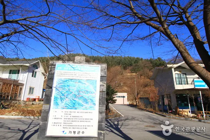
Boasting lush forests and easy accessibility from the Seoul Metropolitan Area, Myeongjisan Mountain is an ideal day-hike destination standing 1,267 m high, located 18 km north of Gapyeong County Office. Myeongjisan has the second highest elevation in Gyeonggi-do after Hwaaksan Mountain. The mountain terrain is comparatively gentle, and the snowy ridge scenery in winter is spectacular, making it a great destination for winter hiking as well. For autumn foliage, the section spanning Ikgeun-ri Valley–Seungcheonsa Temple–Myeongji Falls is particularly stunning due to the abundance of broadleaf trees. In spring, azaleas bloom in profusion everywhere, and the Myeongji Valley, stretching for about 30 km, serves as a popular summer retreat for travelers from the Seoul metropolitan area. As for hiking routes, the trail ascending to the summit from Sangpan-ri on the west side of Myeongjisan and descending east toward Ikgeun-ri is widely used. It is a manageable mountain even for beginners.MoreLess
- 2
Seongnyongsan Mountain
석룡산
Featuring a succession of waterfalls, ponds, and deep pools, Seongnyongsan Mountain is ideal for summer hikes because the trails are relatively gentle despite the grand mountain terrain, and hikers can ascend and descend while listening to the constant sound of flowing water. In particular, Jomurakgol Valley stretches for 6 km, drawing large crowds of vacationers during the summer holiday season. The name Jomurakgol originates from the continuous, lively chirping (jomurak) of birds. The view from the summit takes in Baegunsan Mountain and Sachang-ri at a glance, as well as Hwaaksan, Myeongjisan, Gungmangbong, and Daeseongsan and Baegamsan mountains near the DMZ. It is best to begin the hike from the Yongsumok Jomurakgol entrance. However, because of the rocky terrain, it is advisable to allow at least twice as much time for the hike as you would for walking a standard mountain trail.MoreLess
- 3
Jomurak Valley
조무락 계곡
Jomurakgol is a valley nestled within Seongnyongsan Mountain (1,153 m) in Jeongmok-ri, Buk-myeon. To the right of Seongnyongsan is Hwaaksan Mountain (1,468 m), to the left is Gungmangbong Peak (1,168 m), and heading southwest along its tributaries leads to Gangssibong Peak (803 m) and Myeongjisan Mountain (1,267 m). Seongnyongsan, embracing Jomurakgol Valley, is truly nestled in the deep, overlapping mountains. Jomurak (鳥舞樂) means 'birds dancing and rejoicing,' reflecting how people of the past poetically described the chirping and fluttering wings of countless birds. True to its name, Jomurakgol is covered in dense forests, with crystal-clear waters flowing incessantly. In the deep mountains, the birds' chirping forms a chorus along the clear valley stream, making both birds and people dance.MoreLess
Source: Korea Tourism Organization (TourAPI) · Machine-translated