Standing on Dokdo from Ulleungdo Island
4 stops · 1 day
From this starting point of Ulleungdo travel, follow the coastal cliff walkways extending to the left and right of Dodonghang Port. As you walk while taking in the waves crashing against volcanic sea cliffs and the clear waters below deep sea caves, make your way to Haengnam Lighthouse, where colonies of leopard plants bloom in autumn, and gaze out at the vast ocean.
- Duration
- 1 day
- Distance
- 39.38km
Along the way
- 1Dokdo Observatory Cable Car
독도전망대 케이블카
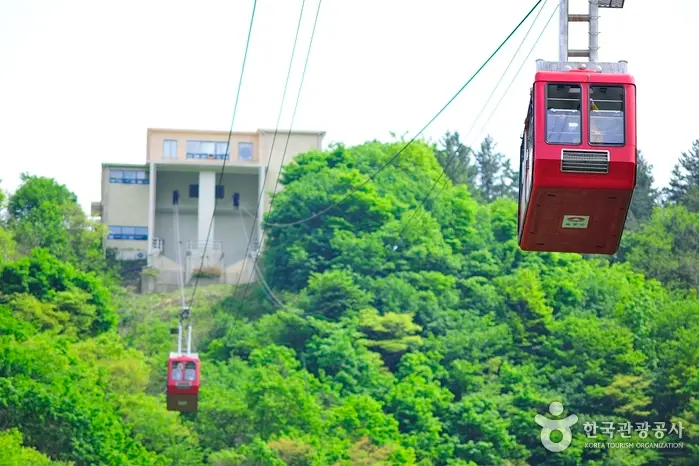
Enjoy a scenic cable car tour to the Dokdo Sunrise Observatory and take in sky-high views of the mystical Ulleungdo Island. While riding the cable car from Dodong Mineral Spring Park to the summit of Manghyangbong Peak, you can admire the lights of squid fishing boats (Eohwa), one of the Eight Scenic Views of Ulleungdo. On clear days, Dokdo Island can also be seen from the Dokdo Observatory. It is well known as a sunrise spot, and the Dokdo Museum is located next to the boarding station. MoreLess
- 2
Dodong Lighthouse (Haengnam Lighthouse)
도동등대(행남등대)
Haengnam Village, where the lighthouse is situated, is a coastal settlement nestled between Dodong and Jeodong and is the easternmost point of Ulleungdo Island. It is a warm village where apricot blossoms can be seen even in winter, and it is said to have been named Haengnam (杏南) because a large apricot tree once stood at the village entrance. It is also called Salgunam because the terrain resembles a snake's open mouth. On clear days, Dokdo can be seen due east from the lighthouse tower, and looking north offers panoramic views of the scenic Jeodonghang Port, Chotdaebawi Rock, as well as the summit of Seonginbong Peak, the symbol of Ulleungdo. MoreLess
- 3
Bongnaepokpo Falls
봉래폭포
Bongnaepokpo Falls is a three-tiered waterfall with a total drop of about 30 meters, serving as an essential source of tap water for the southern areas of Ulleungdo, including Dodong and Jeodong. The water here originates from precipitation that gathers in Nari Basin to the northwest, seeps underground, and emerges on the surface as confined groundwater. As large amounts of rising water flow along the terrain's contours, this waterfall was formed. The daily flow rate exceeds 3,000 tons, and nearby attractions include wind holes emitting 4℃ breezes year-round, traditional Tumakjib log cabins, and a forest bathing area. MoreLess
- 4
Nari Basin
나리분지
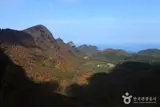
Measuring about 1.5 km east to west and 2 km north to south, this is the only plain on Ulleungdo Island. It is a volcanic caldera floor formed by the collapse of the caldera crater north of Seonginbong Peak. It was later divided into two crater basins by the secondary eruption of Albong Peak (611m) and its flowing lava; Nari Village lies to the northeast, while the now-uninhabited Albong Village lies to the southwest. People have inhabited the area since the Usan-guk period, but the island remained empty for centuries during the Joseon Dynasty due to the Island Evacuation Policy (Gongdo Policy). When pioneers arrived following King Gojong's reclamation decree, they survived by digging up and eating the roots of Ulleungdo martagon lilies (seommalnari), giving the area its name, Narigol. During the settlement era, it was the island's largest collective village, once housing over 500 residents across 93 households. MoreLess
Source: Korea Tourism Organization (TourAPI) · Machine-translated