Encountering the Tragedy of Fratricidal War at the Center of the Korean Peninsula
6 stops · 8 hours
If Korea's territory is taken to mean “the Korean Peninsula and its outlying islands,” then Yanggu sits at its exact geographic center. It is a region scarred by fierce fighting during the Korean War, home to the Punchbowl — named for its resemblance to a punch bowl when viewed from Gachilbong Peak — and the Dosolsan Marine Corps Battle Site. Set at the very edge of the nation's territory, it is an ideal destination for a security-themed trip paired with beautiful natural scenery.
- Duration
- 8 hours
- Distance
- 62km
Along the way
- 1
Center of Korea Observatory
국토정중앙천문대
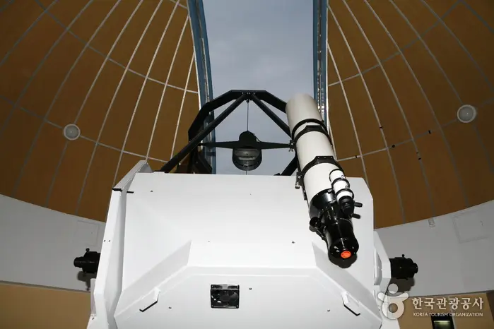
The Center of Korea Observatory is located near the geographic center of the country, offering a view of the sky from the heart of the nation. It houses an 80cm reflecting telescope as its main instrument, along with an exhibition hall offering the latest astronomical information and hands-on learning experiences, and a planetarium where visitors can view a digital simulated night sky.MoreLess
- 2
Hugok Mineral Spring
후곡약수터
Located at the foot of Daeamsan in Hugok-ri, Dong-myeon, Hugok Mineral Spring is rich in iron and fluoride and contains abundant carbon dioxide, and is known to be highly effective for stomach ailments as well as beneficial for skin conditions.MoreLess
- 3
Dosolsan Marine Corps Battle Site
도솔산 해병대전투전적지
The Dosolsan area is a rugged mountainous region at 1,148m above sea level surrounding a coastal basin, with peak upon peak layered together and unusual weather continuing throughout the year; in summer especially, fog can make it hard to see even a step ahead.MoreLess
- 4
Punchbowl
펀치볼
Located in Haean-myeon, Yanggu-gun, at an elevation of 400–500m and about 22km northeast of downtown Yanggu, this basin developed on a highland got its name because its surroundings resemble a punch bowl. There are two theories about how this unusual terrain formed — a meteorite impact theory and a differential erosion theory — but since no meteorite fragments have been found in the basin, and the basin floor is softer than the surrounding terrain, the differential erosion theory is more widely accepted.MoreLess
- 5
4th Infiltration Tunnel
제4땅굴
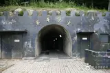
The 4th Infiltration Tunnel, dug as part of a new North Korean infiltration effort, was discovered on March 3, 1990 — 12 years after the discovery of the 3rd tunnel in 1978 — inside the Demilitarized Zone, 26km northeast of Yanggu, at a point 1.2km from the Military Demarcation Line. It measures 1.7m in both height and width, and 145m deep underground, with a total length of 2,052m, which can be compared to the 1st Infiltration Tunnel discovered in 1974, 8km northeast of Gorangpo, which measured 1.2m in height, 0.9m in width, and 46m deep underground.MoreLess
- 6Eulji Observatory
을지전망대
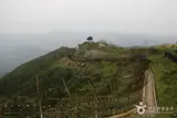
Eulji Observatory is located on the ridge of Gachilbong Peak, which forms a coastal basin, 27km northeast of Yanggu and 1km south of the Military Demarcation Line. It was built in 1988 after 125 million won was donated to the military unit for its construction.MoreLess
Source: Korea Tourism Organization (TourAPI) · Machine-translated